
Sumas Mountain rises to 891 metres above the Matsqui Prairie on the eastern edge of Abbotsford, making it the dominant topographic feature visible from most of the city. Metro Vancouver Regional District manages the mountain and its surrounding forest as part of Sumas Mountain Regional Park, a 1,200-hectare protected area that encompasses old-growth cedar groves, second-growth Douglas fir forest, and a network of trails suited to everything from a short forest walk to a full summit push. The mountain is close enough to the urban centre of Abbotsford that it functions as a genuine backyard wilderness for the city’s residents.
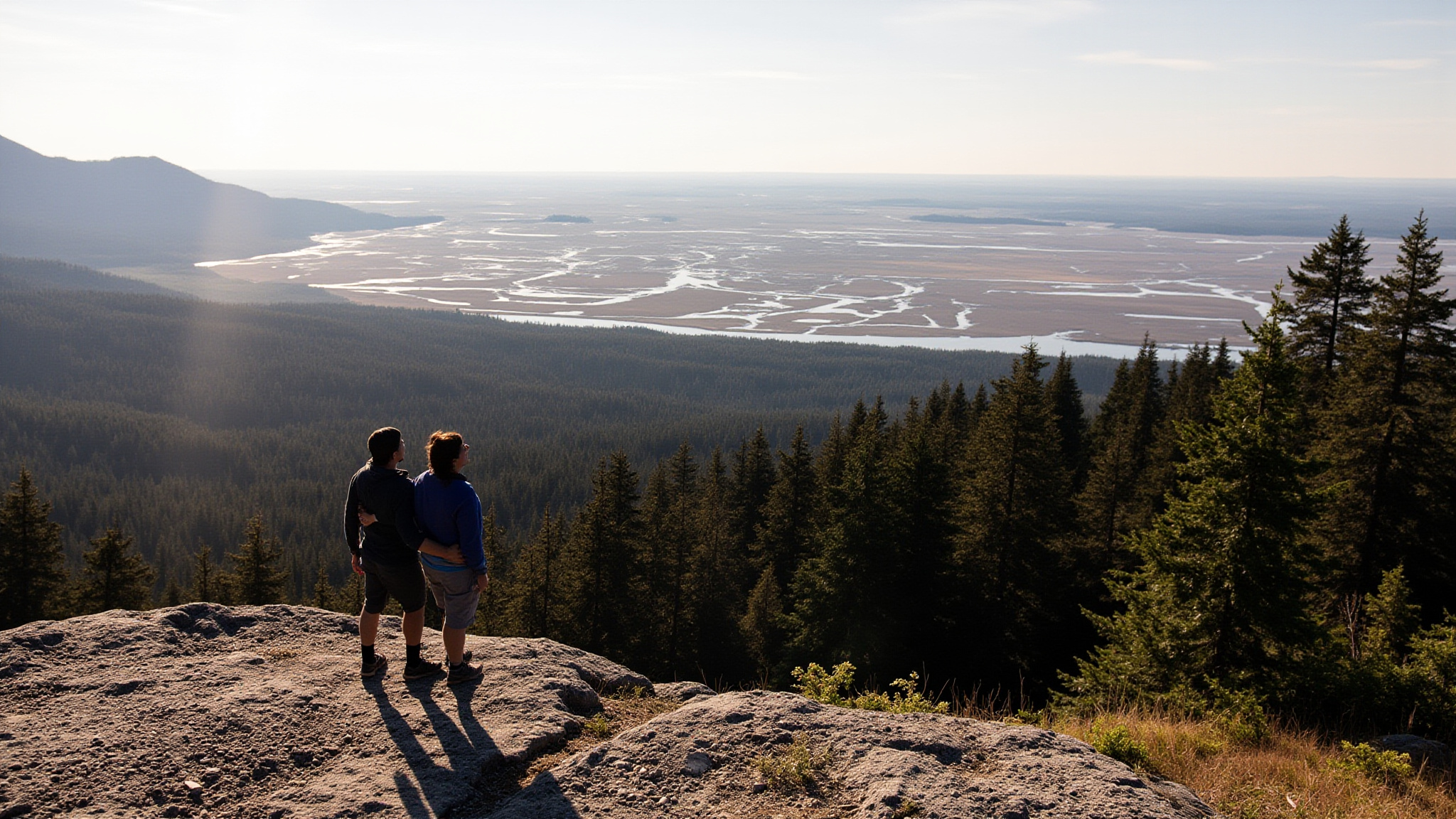
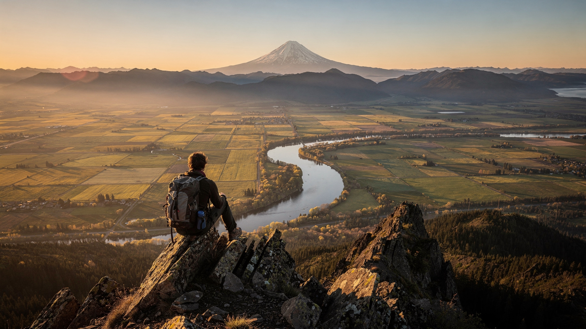
The view from the summit is one of the most complete panoramas available anywhere in the Fraser Valley without requiring a long approach. On a clear day the entire agricultural patchwork of the Sumas Prairie spreads below to the south and east, bordered by the international boundary and backed by the Cascade Range in Washington State. Mount Baker, at 3,286 metres and only 50 kilometres to the southeast, dominates the southern skyline. To the north and west, the Fraser River corridor and the towns strung along it lead the eye toward Pitt Meadows and ultimately the Burrard Inlet lowlands. The Golden Ears peaks above Maple Ridge are prominent to the northwest.
Trail Network and Difficulty Levels
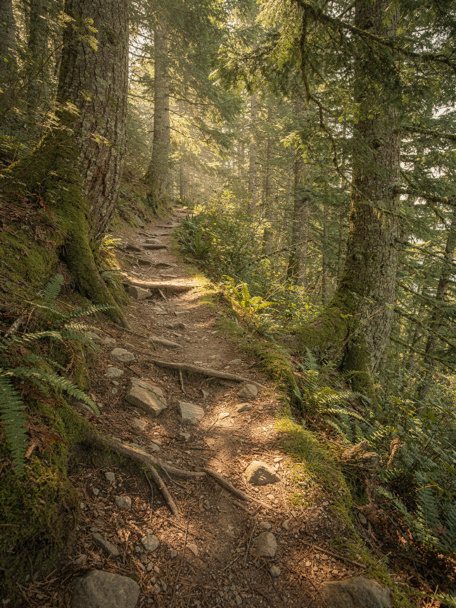
Sumas Mountain Regional Park has a trail network of roughly 30 kilometres. The primary hiking route to the summit follows the Sumas Mountain Trail from the main trailhead on Sumas Mountain Road. This route gains approximately 700 metres of elevation over about 4.5 kilometres, making it a moderate to strenuous hike depending on fitness level. The lower portions of the trail pass through second-growth forest with good footing on a well-maintained path. The upper sections become steeper and the trail narrows, with some rocky sections near the summit ridge.
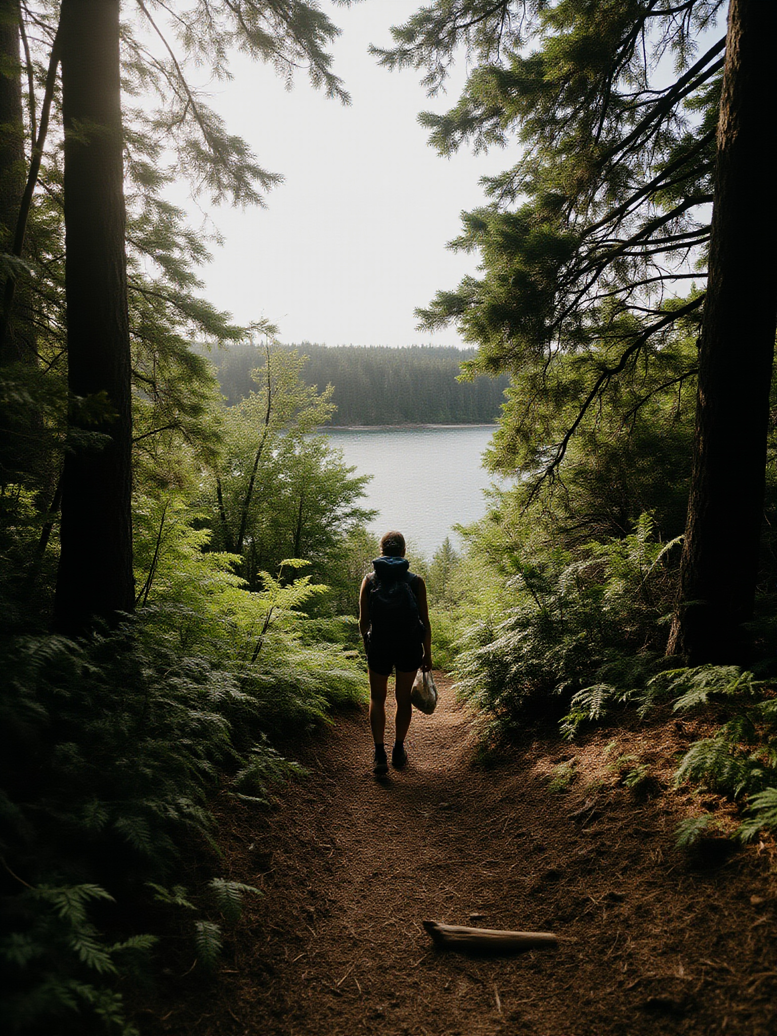
Chadsey Lake is a secondary destination within the park and provides a more accessible goal for families and less experienced hikers. The lake sits at roughly 500 metres elevation and is reached by a gentler trail that winds through forest without committing to the full summit push. The lake itself is small and scenic, with the mountain forest rising behind it. Swimming is possible in summer though the water stays cold. The Chadsey Lake route starts from a separate trailhead and can be combined with a summit attempt for a longer loop day.
The lower elevations of Sumas Mountain have a network of mountain bike trails that are popular with riders from across the Fraser Valley. These trails tend toward technical singletrack with roots, drops, and switchbacks that attract experienced mountain bikers. Hikers and bikers share some sections of the lower trail network, so awareness of bike traffic is useful. On summer weekends the parking areas can fill by mid-morning as both user groups arrive early to beat the heat.
Summit Views: Cascades, Coast Mountains, and Sumas Lake
The summit of Sumas Mountain provides a view that is genuinely panoramic. Mount Baker is the visual anchor to the southeast, its snow-covered cone rising above the Cascades and visible for most of the year. The rest of the Cascade Range forms a jagged line along the southern horizon, extending east toward Kulshan and the peaks above Bellingham. The international boundary runs through the farmland below at the 49th parallel, marked by a cleared swath visible on the clearest days as a line through the forest.
The northern and western panorama from the summit takes in the full breadth of the Fraser Valley. The river itself is visible as a silver thread winding through the agricultural flatlands. Mission sits on the far bank directly north, and the hills behind it rise toward the Alouette and Golden Ears peaks. Pitt Meadows, Maple Ridge, and on clear days the Burrard Inlet lowlands are visible to the northwest. The Coast Mountains form the background to this view, with peaks like Robie Reid and Edge visible on clear winter days when the air is cleanest.
Perhaps the most historically interesting feature visible from the summit is the Sumas Prairie itself, the flat agricultural plain directly to the south and east. This entire area was Sumas Lake until 1924, when a massive drainage project lowered the lake level and reclaimed approximately 14,000 hectares of lakebed as farmland. Looking down from the summit at the perfectly flat, grid-patterned fields, the original lake basin is obvious. The drainage transformed the landscape but also displaced the Sema:th First Nation people who had relied on the lake for thousands of years.
Forest and Wildlife on Sumas Mountain
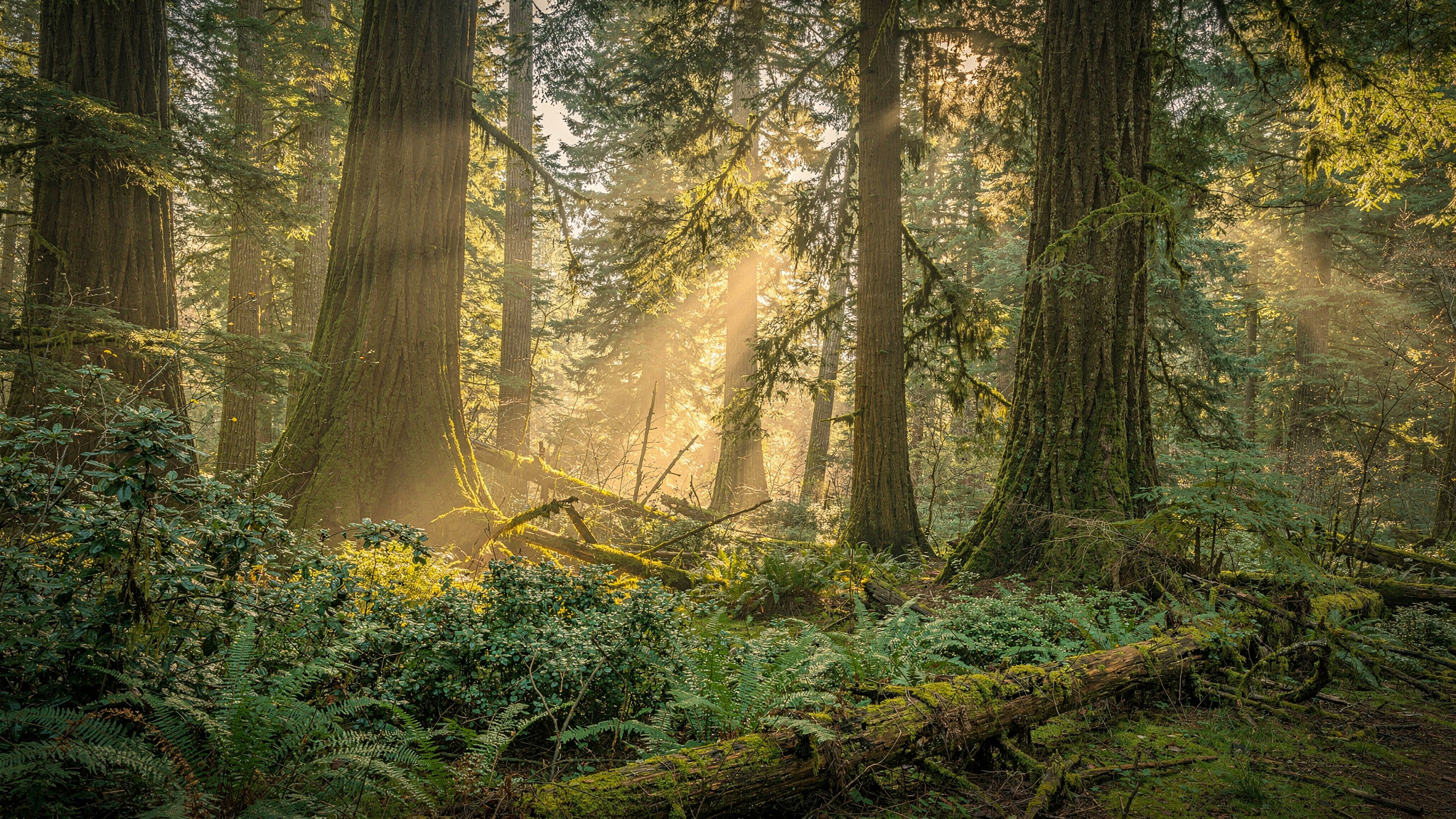
The forest on Sumas Mountain transitions from second-growth Douglas fir and western red cedar in the lower elevations to older, more open forest near the summit ridge. Some old-growth cedar groves remain in the protected gullies and north-facing slopes of the park, and these patches are notable for the size of their trees and the richness of their understory. Sword fern, salal, and Oregon grape form the ground cover in the drier sections; skunk cabbage and sedges fill the wet depressions.
Black bears are present on Sumas Mountain and are occasionally encountered on the trails, particularly in late summer and fall when berry crops bring them to the lower elevations. Bear activity is not unusual and is not cause for alarm, but hikers should make noise, store food properly, and be aware of their surroundings. Bear spray is a reasonable precaution for anyone hiking solo or in small groups. The mountain also supports a healthy deer population, and the deer are often visible in the meadow clearings near the upper trail in early morning.
Birdlife on the mountain includes species that are typical of old coastal forest. Pileated woodpeckers are present year-round and their loud, irregular drumming is often the most prominent sound in the forest. Varied thrush, the understated but distinctive thrush of the coastal forest, is common in spring and fall. Steller’s jays follow hikers through the upper forest, and red-tailed hawks and Cooper’s hawks are regularly seen riding thermals above the summit ridge in summer.
Getting to Sumas Mountain Regional Park
The main trailhead for Sumas Mountain is accessed via Sumas Mountain Road, which leaves from the North Parallel Road area in eastern Abbotsford. The road climbs the lower slopes of the mountain and the trailhead parking area is signed along the route. From central Abbotsford the drive to the trailhead takes approximately fifteen minutes. The road is paved to the parking area but becomes gravel beyond and the upper sections are not suitable for low-clearance vehicles.
The Chadsey Lake trailhead is accessed from a separate entrance lower on the mountain, also off North Parallel Road. This trailhead has its own small parking area. Both trailheads can fill on summer weekends and BC public holidays, and overflow parking on the road shoulder is common when the lots are full. Arriving before 8:30 on busy days essentially guarantees a parking spot at the main lot.
Public transit does not serve the trailheads directly. The mountain is a drive-access destination for visitors without a car. From Metro Vancouver the drive via Highway 1 to the Whatcom Road or Sumas Mountain Road exits takes approximately 55 minutes from Burnaby without traffic. Carpooling is practical because the trailheads have ample space for groups arriving together.
History of Sumas Lake and the Matsqui Prairie
Before 1924, the view south from Sumas Mountain was a lake, not farmland. Sumas Lake was a large, shallow body of water covering roughly 14,000 hectares, fed by snowmelt from the Cascades and drainage from the surrounding mountains. The lake was seasonally variable, shrinking in dry summers and expanding dramatically in spring floods to merge with the flooded Matsqui Prairie. For the Sema:th First Nation (Semiahmoo) and other Sto:lo peoples, the lake was a primary food source and the centre of a complex resource-management system developed over thousands of years.
The provincial government undertook the Sumas Lake reclamation project beginning in 1920, draining the lake through a network of canals and pumping stations that lowered the water table and exposed the rich lakebed soil. The project was completed in 1924 and the drained land was sold to settlers for agricultural use. The transformation was one of the largest wetland drainage projects in Canadian history and permanently altered the ecology of the region, eliminating habitat for migratory birds, fish, and wildlife that had depended on the lake system.
The flat, geometrically divided farmland visible from the Sumas Mountain summit today is the direct result of that drainage project. The Sema:th First Nation has pursued recognition and restitution for the loss of the lake, and the historical significance of the reclamation project is increasingly recognized in regional historical interpretation. Seeing the perfectly flat farmland from above, with the knowledge that it was once a lake, gives the Sumas Mountain summit a depth of meaning that goes beyond the scenic.
Planning Your Sumas Mountain Hike
The summit trail is best hiked in dry weather. The upper sections can be slippery on wet rock and the exposed ridge becomes cold and can be in cloud even when the valley below is sunny. Summer mornings offer the clearest views; haze builds through the afternoon on hot days and can obscure the Cascade Range by mid-afternoon. Starting early, by 7:00 or 8:00 AM, gives the best combination of cool temperatures and clear visibility.
Carry at least two litres of water per person. There is no water available on the upper mountain and the hike to the summit and back takes three to five hours for most hikers. Bringing food for the summit is worthwhile as the views reward a longer stay. Sunscreen and a hat are essential on the exposed upper trail and summit area.
Wear proper hiking footwear. Trail runners or hiking boots with ankle support handle the upper trail much better than running shoes or casual footwear. The rocky sections near the summit can be tricky on descent when tired. Trekking poles are useful on the steeper sections, particularly for the descent.
Cell service is intermittent on the mountain and absent in some lower sections of the trail. Download the trail map offline before your visit or carry a printed map. Let someone know your plans and expected return time, particularly for solo hikes or when conditions are uncertain.
Questions Often Asked
How hard is the hike to the top of Sumas Mountain?
The main summit trail gains approximately 700 metres of elevation over about 4.5 kilometres, which is rated moderate to strenuous. Most reasonably fit adults without hiking experience can complete it but should expect it to take three to five hours round trip. The upper sections are steep and rocky. The Chadsey Lake trail is a much easier alternative for families or beginners.
What can you see from the top of Sumas Mountain?
The summit offers a panoramic view of the entire Fraser Valley. Mount Baker and the Cascades dominate to the south, with the international border farmland visible below. To the north and west, the Fraser River, Mission, and on clear days the Pitt Meadows lowlands and Golden Ears peaks are visible. The flat farmland immediately below is the former Sumas Lake, drained in 1924.
Are there bears on Sumas Mountain?
Yes, black bears are present in the park and are occasionally encountered on trails, particularly in late summer and fall during berry season. Standard bear safety applies: make noise on the trail, do not leave food unattended, and consider carrying bear spray. Bear encounters are not common and are not a reason to avoid the park, but awareness is appropriate.
When is the best time to hike Sumas Mountain?
The clearest views are typically in summer and fall. Summer mornings have the best air clarity before afternoon haze builds. The trail is hikeable year-round but snow can accumulate on the upper sections in winter and early spring, requiring microspikes or caution. Fall offers excellent conditions with cooler temperatures and often excellent visibility after September storms clear the air.